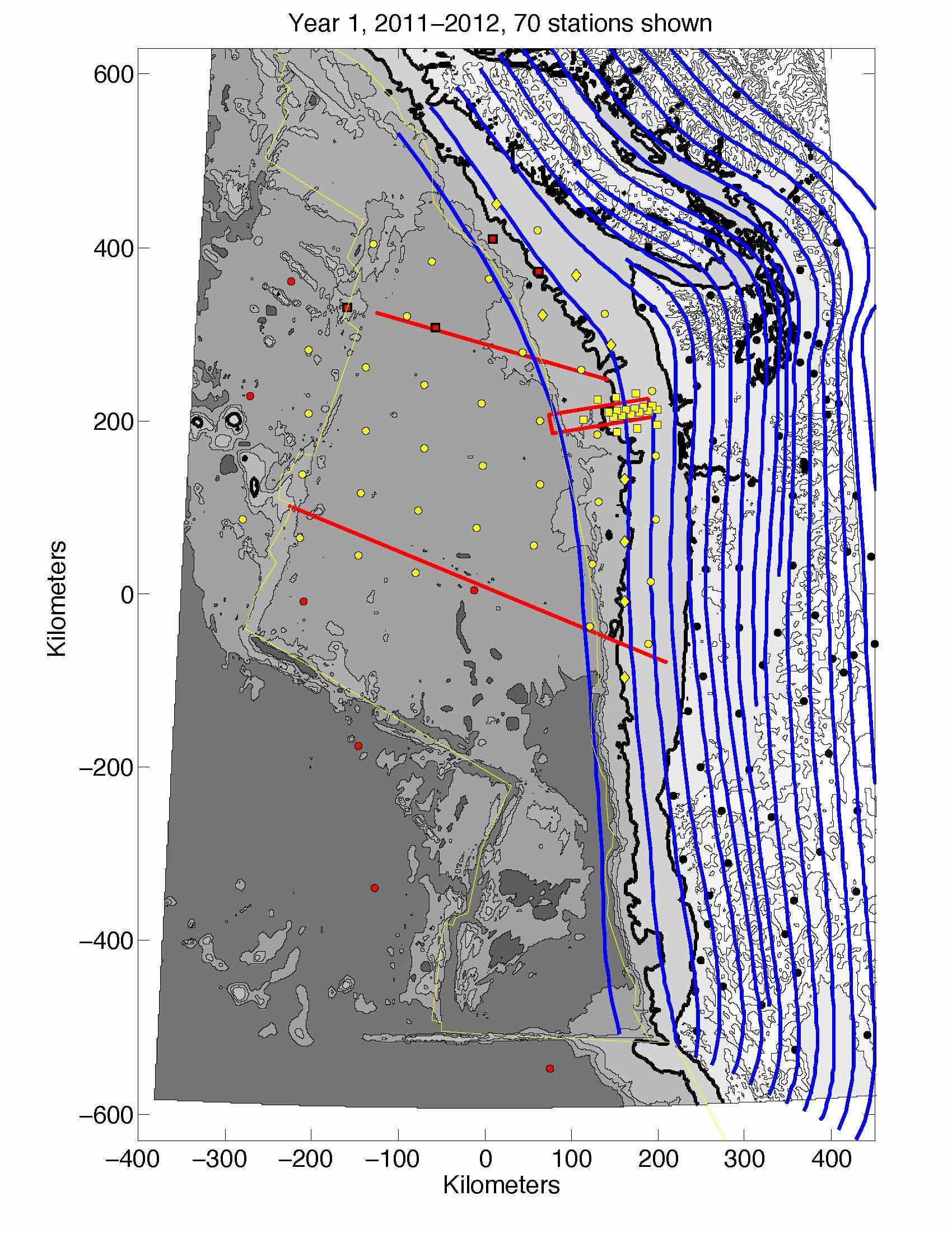
 The Year 1 deployment includes 70 sites installed primarily throughout the northern half of the Cascadia margin and Juan de Fuca plate. A Northern Focussed Array is deployed over the megathrust offshore of Grays Harbor.
Preliminary station locations can be found in the srStation_year1.mat mat-file. Actual deployment sites will vary according to instrument availability and to take account of local seafloor relief and possible hazards.
Matlab file with instrument locations from the 2010 Portland Workshop.
- srStation_year1.mat
Excel file with instrument depths (same as above, except for addition of estimated seafloor depth):
- Cascadia_Stations_Year1
- Station locations are from the above mat-file (srStation_year1.mat)
- Depths are extracted from Sandwell’s latest 1-minute topography compilation: “topo_13.1.img”